
Upper Dublin ZIP Coverage
Upper Dublin Township’s official geography identifies seven postal areas. This coverage table is the right starting point for a ZIP code directory search because it keeps the postal community, local area, and township boundary distinct. The table does not turn a postal label into proof of a municipal location. For six of the seven entries, county parcel and municipality information still decides whether a particular address is in Upper Dublin.
| ZIP | Areas Covered | Post Office | Notes |
|---|---|---|---|
| 19001 | Upper Dublin portions of Abington postal geography | Abington postal label | Only portions of the postal area are in the township. |
| 19002 | Upper Dublin portions within Ambler postal geography | Ambler postal label | Ambler Borough is separate from Upper Dublin Township. |
| 19038 | Ardsley and North Hills portions | Ardsley/North Hills postal labels | Shared postal geography with neighboring communities. |
| 19025 | Dresher, Jarrettown, and Maple Glen | Dresher postal ZIP area | Township says this ZIP is wholly in Upper Dublin and shared with no other municipality. |
| 19034 | Fort Washington | Fort Washington postal label | The Township government uses this label; it does not cover the entire Township. |
| 19075 | Upper Dublin portions of Oreland postal geography | Oreland postal label | Confirm the municipality by address or parcel. |
| 19090 | Upper Dublin portions of Willow Grove postal geography | Willow Grove postal label | Postal label crosses municipal geography. |
The Township is approximately 13 square miles and is not a one-ZIP place. Postal place, ZIP, and township boundary are separate systems. That is why a seven-area lookup needs an exact address rather than a broad town-name assumption.
Upper Dublin ZIP 19025
ZIP 19025 is the clearest geography clue in the Township. The official table associates it with Dresher, Jarrettown, and Maple Glen and says it is completely within Upper Dublin Township, with no other municipality sharing it. That makes it a strong overview filter when organizing a group of already verified addresses. It still does not replace the street address, parcel identifier, or legal description used by county land records.
A researcher working from an old mailing label should preserve both the postal city and the Township name. The Historic Resource Inventory includes Upper Dublin properties under several postal cities, so the postal form may be the key that makes an archive or catalog search work.
Upper Dublin ZIP 19002
Ambler 19002 requires the most careful municipality check. Upper Dublin’s official page lists the ZIP among the Township postal areas, while also stating that the Borough of Ambler is not part of Upper Dublin Township. An Ambler mailing address can therefore be relevant to Upper Dublin without being a Township address. Verify it against the county assessment municipality, parcel location, and the Township geography before assigning a record to the Township.
The same caution applies to the other shared labels, including Abington, Ardsley/North Hills, Oreland, and Willow Grove. Postal routing is useful for finding an address. It is not the legal boundary source for a property or municipal record.
Verify Upper Dublin ZIP Labels
Use the USPS ZIP Code Lookup before beginning a county or township search. Enter the complete mailing address or confirm a known ZIP, then retain the returned street number, postal city, state, and ZIP. USPS makes a postal-routing assignment, not a municipal-jurisdiction decision. The next check is the Montgomery County parcel or municipality context, followed by Upper Dublin’s official geographic information where needed.
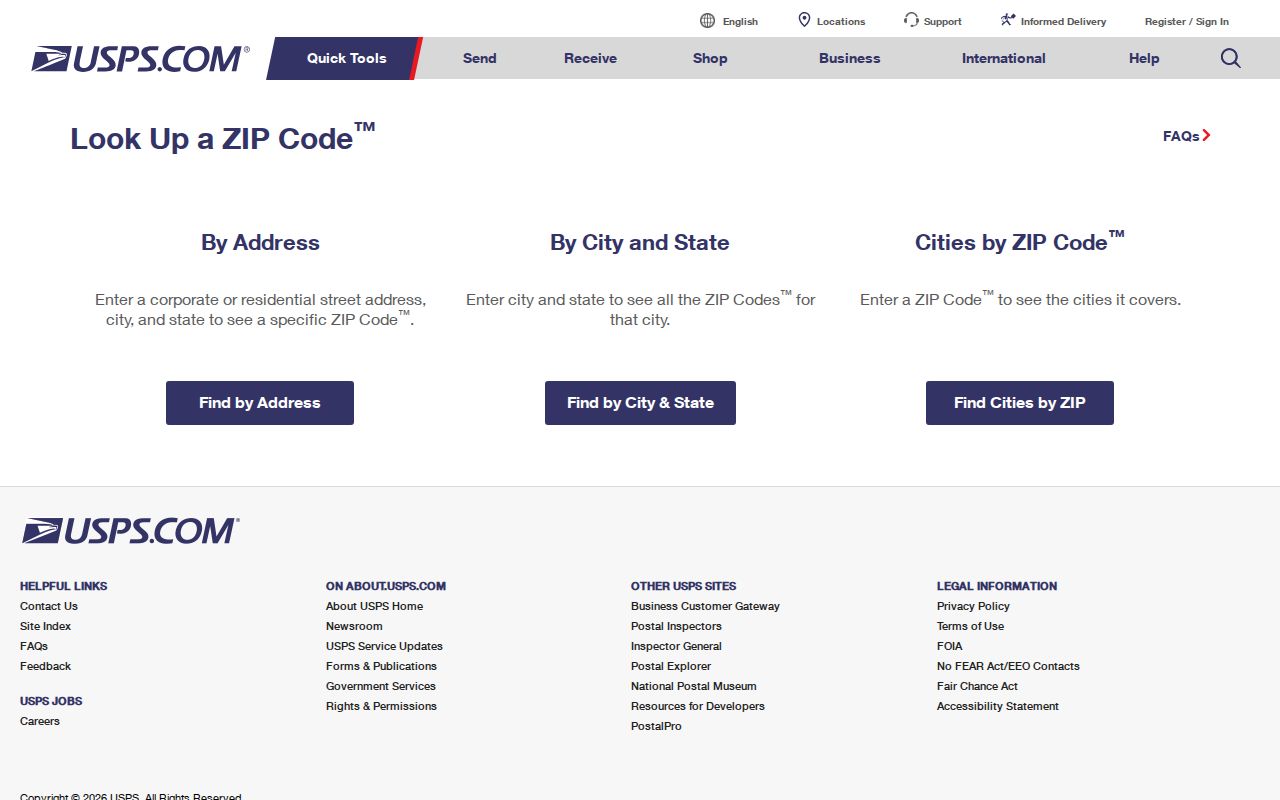
The USPS result establishes the mailing form for a specific address. USPS specifically cautions that a ZIP result does not confirm who is at that address. It does not prove that the address is inside the Township, identify a current resident, or create a ZIP-wide resident list.
Upper Dublin ZIP Portal Limits
No verified county property, Recorder, GIS, or voter portal ZIP filter was found. That limit is useful information. It means the practical route is address by address after postal validation, not a claim that a ZIP-wide people search exists. County tools have strong but different uses: property records find an individual parcel; the tax map explains where parcels sit; the Recorder follows recorded documents; and the voter route is a controlled statutory request rather than a browseable list.
| Local lookup | ZIP filter verified? | Better verified use | Result scope |
|---|---|---|---|
| County Property Records | No | Street address or parcel ID | Individual parcel and property record |
| Interactive tax map | No fixed filter documented | Map browse and parcel relationship | Visual spatial context |
| Recorder Public Access | No fixed filter documented | Party, address, parcel, date, and document criteria | Recorded-document index; image access is subject to its rules |
| Tax Claim parcel search | No | Address or parcel/map number | Parcel tax lookup, expressly noncertified online |
| State voter status | No | Personal registration status | Self-status, not a public list |
| County voter request | No portal filter documented | Formal Street List or defined public-list request | Controlled statutory record |
A ZIP code directory is most reliable when it states the actual search fields rather than implying an unavailable filter. Montgomery County Property Records offers address, parcel, advanced, map, and sales modes. Its owner-name search was eliminated in June 2022.
Upper Dublin ZIP Search Workflow
Once an address is narrowed to a Township ZIP, move from postal information to the record set that answers the question. The following workflow respects the verified limits of the county systems and avoids treating mail routing as a resident roll.
- Validate the full mailing address through USPS, noting the returned postal city and ZIP.
- Search Montgomery County Property Records by the street address or parcel ID. It does not provide a documented ZIP filter or owner-name search.
- Open the interactive tax map to place that parcel among nearby streets and parcel polygons. The County warns that map layers are not legal descriptions.
- For a recorded land question, use the Recorder’s party, address, parcel, date, or document criteria and follow the document trail where appropriate.
- For an election-record question, use the state tool only for personal status or follow the Montgomery County written request procedure for a controlled record.
After one address is confirmed, the Upper Dublin streets directory gives the separate street-level route. ZIP geography narrows the area; it does not replace address and parcel work.
Upper Dublin ZIP Boundaries
A postal city is not the same thing as a Township jurisdiction. Fort Washington 19034 is the Township government’s mailing label, but it is not a label for the whole Township. At the other end, an Ambler 19002 address might be in the Borough of Ambler or in a Township portion of that postal geography. County Property Records, the official map, and the Township’s own geography are the three local checks that resolve the difference.
Note: Keep the postal city, Township municipality, physical situs address, and parcel identifier together when they appear in a record.
Upper Dublin ZIP Parcel Labels
Multi-postal geography makes record labels especially important. County and Recorder material can use a postal mailing address, a physical parcel location, and a durable land description for different purposes. Compare each field instead of substituting one for another.
- ZIP and ZIP+4
- A ZIP identifies a postal service area; ZIP+4 adds a more specific delivery-routing segment. Neither establishes Township jurisdiction.
- PO-box ZIP
- A postal ZIP used for post-office boxes. The Upper Dublin research did not verify a PO-box-only local ZIP, so do not infer one from this table.
- Unique ZIP
- A ZIP assigned to a single organization or institution. The research did not verify one serving Upper Dublin.
- Carrier route
- A postal delivery grouping. The research did not document a local route directory or a public route-search method.
- Situs address
- The physical parcel location, distinct from the place a custodian sends correspondence.
- Legal description
- The recorded lot, block, subdivision, or other durable land description used to anchor the title trail.
Upper Dublin ZIP Geography
The postal mismatch is part of Upper Dublin’s local character. The Township spans seven ZIP areas, while the Census Bureau reports 26,665 residents in the 2020 Census and 13.23 land square miles. Its compact size does not make its address geography simple. Historic Inventory entries add another layer by using postal cities that include Ambler, Fort Washington, Willow Grove, Glenside, Roslyn, and Maple Glen.
The Census QuickFacts profile for Upper Dublin Township supplies a useful scale check alongside the Township’s seven-area postal geography.
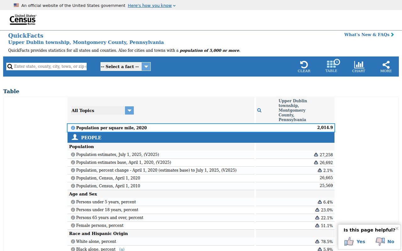
Use the Census geography for context, then return to the specific address, municipality, and parcel when identifying a local record.
Upper Dublin ZIP Records
For a historic address, search both the Township name and its postal-place label in catalogs and finding aids. The Township Historic Resource Inventory identifies several postal cities inside the same municipal geography, while the Historical Society of Fort Washington and county or state archives provide older local-history paths. This is a more accurate approach than assuming a current ZIP appeared in every earlier record.
For a current municipal question about numbering, permits, or property-transfer context, Upper Dublin Code Enforcement is the local contact. Its process can provide address-related administrative context, but it is not a resident list and should be used only for the documented record purpose.