
Upper Dublin Neighbor Sources by Block
The public block method produces a set of nearby parcels, then asks a separate question about each one. The map shows spatial relationships. The assessment site resolves a street address or parcel ID. The Recorder names parties to recorded instruments. Voter and township administrative records have formal request rules. Historic sources provide place context. None of them is a list of every neighbor, renter, household member, or private contact at an address.
| Source | What It Shows About a Block | Access |
|---|---|---|
| Interactive tax map | Street geometry, parcel locations, and adjoining polygons | Free county map; not a legal boundary survey |
| Property Records | Individual parcel or address assessment context | Free address or parcel query; owner-name search unavailable |
| Recorder | Recorded party and document history for a specific parcel | Account, subscription image access, counter, or mail route |
| Voter Street List | Voter name and residential address for a requested street | Controlled request for qualified electors with ID and affirmation |
| Township RTKL or Code Enforcement | Non-exempt public administrative material for one address | Specific written request to the designated custodian |
| Historic Resource Inventory | Historic property context across a street or block | Public township historical resource, not person data |
A parcel polygon is not a household roster. A name on a recorded deed is a party to that transaction, not proof that the person currently lives at the property. Start with the parcel, record the source’s date and limitation, then decide whether the next official source can answer a different question.
Map Upper Dublin Neighbor Parcels
Use the county’s address-first sequence to turn one location into a small, documented parcel set. The property site is deliberately not searchable by owner name. Search the target address or parcel ID, verify the township and postal-place label, then open the interactive tax map. The map is helpful for spatial relationships but remains a visual and informational resource rather than a survey or legal description.
- Find the target street address in Property Records and note the parcel ID, municipality, and map location.
- Open the tax map, use its visible Search, Identify, and layer controls, and identify the target polygon and adjoining polygons.
- Write down each neighboring parcel ID or address, then run a separate address or parcel query for each one.
- For a recorded-title question, search the Recorder for the individual parcel using the available party, address, parcel, or document criteria.
The result is a map-based relationship among parcels. It does not determine who occupies a home. For a complete current street record chain, the Upper Dublin streets directory handles the address-by-address method in more detail.
View the Montgomery County GIS data and mapping services source used for the county mapping layer.
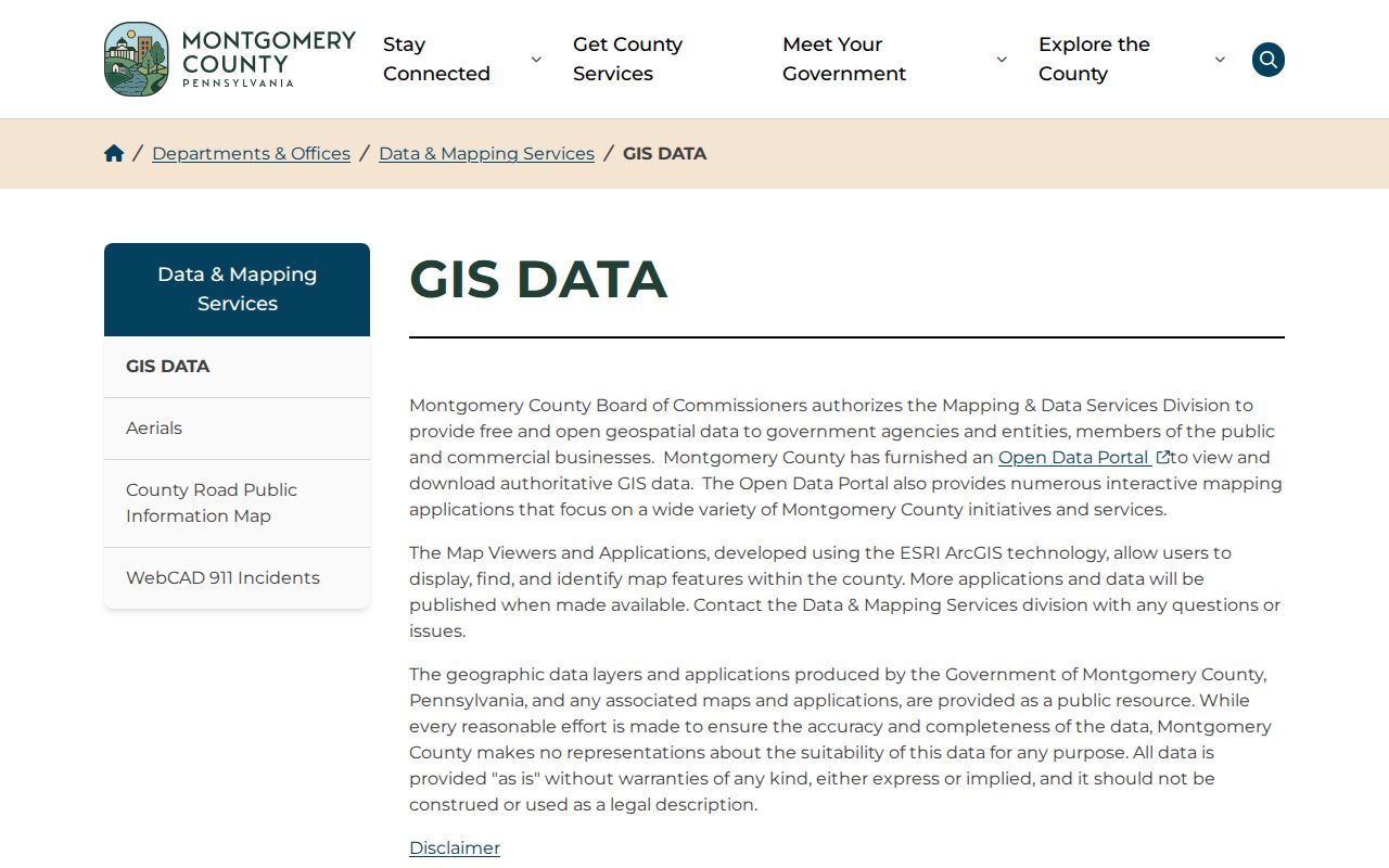
The county map supports parcel orientation, followed by separate record checks for each address.
Upper Dublin Neighbor Map Limits
The county explains that its interactive tax map helps users understand spatial relationships between properties. County GIS applications display, find, and identify features, while the public layers are offered as-is and should not be read as legal descriptions. Do not infer an exact boundary, a private mailing location, or a person’s presence from a polygon alone.
Where two addresses look similar, the parcel identifier, subdivision or lot language, and the township label help keep them distinct. The county assessment system updates property records on a schedule and the map data on another schedule. A map image, current assessment record, title document, and survey all serve different purposes. Keep the tool’s limits visible in the research notes rather than merging them into one conclusion.
See the county property-data and custom-report page when an address or parcel question needs the responsible office.
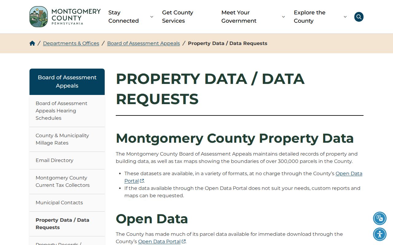
The county’s property-data route is a better fallback than inferring missing details from a map layer.
Note: A map and an assessment card are informative records, but neither replaces a survey, a title search, or a custodian’s certified record.
Upper Dublin Neighbor Recorded Parties
Once a nearby parcel has been identified, the Recorder’s Public Access System can be searched with party, document date, address, or parcel criteria. Start with the purchase deed when available. Preserve the grantee, grantor, document type, recording date, book and page or document number, legal description, and prior-deed recital. Those elements anchor the record to one parcel and one transaction.
To follow a title chain backward, search the present seller as a prior grantee and repeat. When street forms change or an older instrument omits a current address, use the legal description, subdivision, lot, block, plan reference, and persistent parcel details. The Recorder says its records reach back to 1784. Remote images are subscription-gated, while the office’s on-site computers and written copy requests are alternatives.
A recorded party should not be relabeled a current neighbor. It may be a seller, buyer, borrower, lender, trustee, or another party to the filing. That distinction keeps the block method honest and prevents a title history from becoming a claim about private household membership.
Upper Dublin Neighbor Voter List
Montgomery County’s voter-record form identifies a Street List as voter name and residential address for the requested street. This route is not the online state registration-status checker. The county form requires a photocopy of government-issued identification, qualified registered-elector status, requester information, a signature, and the statutory affirmation. Its instructions cite 25 Pa.C.S. §§ 1403–1404 and the SURE regulations.
The form may be sent by mail to Montgomery County Voter Services, PO Box 311, Norristown PA 19404-0311, or by email to montcovotes@montgomerycountypa.gov. The form’s instructions state that the county responds within ten calendar days after receipt unless another law applies. State and county rules restrict use and prohibit internet publication of the lists.
A Street List is a civic record at a point in time. It does not show every person on the block, prove continued residence, or disclose how anyone voted. The state’s self-service status tool and the controlled county request process must remain separate.
Upper Dublin Neighbor Research Contacts
No official list of Upper Dublin homeowners’ associations, neighborhood-association rosters, block-watch membership, congregation lists, or resident directories was located. The verified community layer consists of public historical bodies and repositories. They are useful for a street, subdivision, organization, deed, or historic-property question, but they should not be presented as sources for private member lists.
| Upper Dublin Historical Commission | Historic Resource Inventory and Historic Property Research Guide; public meetings and contact at historicalcommission@upperdublin.org. |
|---|---|
| Historical Society of Fort Washington | Subject files from 1832–2010, photos/film from 1885–2002, and manuscripts/deeds from 1721–1978; use a repository finding-aid inquiry. |
| Montgomery County Archives | Older vital material, microfilm, and archive pathways; walk-ins are welcome at 86 Eagleville Road and the published phone is 610-278-3441. |
| Historical Society of Montgomery County | Regional directory, map, image, and genealogy inquiry point at 1654 DeKalb Street, Norristown; published phone 610-272-0297. |
Ask a repository whether a known street, historic postal place, subdivision, local organization, or family appears in its catalog. The research found no verified public membership directory for these organizations, so an inquiry should stay focused on historical collections and documented address context.
Upper Dublin Neighbor History Clues
The Township Historical Commission’s Historic Resource Inventory can provide an address, approximate age, historic classification, photographs, architectural description, brief history, and research terms for a qualifying property. It is not title or occupancy proof. Its value lies in generating a former place name, construction period, or address form to test against the Recorder, tax lists, maps, and archives.
The Historical Society of Fort Washington adds a longer local layer for a community now within Upper Dublin and Whitemarsh geography. Its deed and manuscript material runs from 1721 to 1978, and its subject files include local organizations, people, businesses, churches, schools, family research, and places. That makes it a useful inquiry route when a block’s story predates modern digital records, not a current neighbor directory.
Postal place names can vary within the same township jurisdiction. Preserve the parcel municipality and legal description, then search historic postal labels separately when an old address seems absent. This prevents a Fort Washington, Ambler, Willow Grove, or another postal label from being mistaken for a different record jurisdiction.
Upper Dublin Neighbor Source Comparison
Official sources and commercial neighbor-lookup products answer different questions. The official channels identify a documented parcel, recorded party, formal voter-record request, public historic resource, or non-exempt administrative file. Commercial compilation products are not original custodians. They can merge postal addresses, parcels, and people, and they do not override restrictions on protected-address information.
| Official record route | Commercial compilation category |
|---|---|
| Shows a defined record with an office, date, and stated access limit | May combine data from different times and sources without a custodian record |
| Lets the reader confirm a parcel, recorded transaction, or controlled civic record | Can conflate a mailing address, parcel, and person |
| Has correction, copy, and access channels at the source | Does not create access to protected addresses or private household information |
For a factual error in an official record, contact the office that created it. Keep the parcel ID, document number, docket number, or other record reference. That is more useful than trying to reconcile a block from an unverified compilation.
Upper Dublin Neighbor Privacy Limits
Public parcel and deed records do not catalog renters, family members, utility customers, delivery recipients, or every occupant at an address. The township’s RTKL material excludes personal phone numbers, Social Security and driver-license numbers, minors’ identifying information, certain home addresses, library circulation records, and investigation material. Motor-vehicle personal information has separate federal limits.
Pennsylvania’s Address Confidentiality Program provides a substitute address in covered systems for eligible survivors and is part of a safety plan. It does not erase historical records or guarantee removal of every nongovernment trace. Protected voters and other restricted records remain subject to their specific rules. A specific township request can seek a non-exempt administrative record, but it cannot be used to assemble a private block roster.
Lawful use. Use Upper Dublin Township neighbor records for lawful personal, civic, family, historic, or safety research. Do not use any result to watch, stalk, harass, intimidate, or harm another person.