
Upper Dublin Previous Residents Sources
One Upper Dublin Township address can reach several eras of record keeping. The Recorder’s current and historical Public Access System is the first title source. PHMC’s county guide adds early deed-index microfilm and tax-list runs. Probate, federal census, historic-inventory material, and Fort Washington collections add different kinds of context. Each source records a limited relationship to the address. Together they can support a careful answer to who lived here before without turning a name into more proof than it provides.
| Source | Years it covers | Where held | What it can show |
|---|---|---|---|
| Recorder current and historical system | County says records date to 1784 | Online account, Recorder counter, or mail-copy route | Deeds, mortgages, satisfactions, plans, parties, and document sequence |
| PHMC grantor and grantee index | 1784-1877 | State Archives digitized county-records program or related microfilm access | Older index bridge for deeds needing manual validation |
| Upper Dublin tax lists | 1785-1789, 1791-1793, 1795-1819, 1821-1834, and 1834-1845 in listed series | PHMC Montgomery County guide | Taxable names, with meaningful gaps in the runs |
| Register of Wills probate | Docket books 1784-1987; computer 1988-present | Register of Wills and County Archives | Estate, executor, heir, and transfer context |
| Federal census | Released under the federal 72-year rule | National Archives and approved collections | A household snapshot near a known address or place |
| Fort Washington deeds and manuscripts | 1721-1978 | Historical Society of Fort Washington | Local deed and organization context for the Fort Washington part of the township |
Begin with a date clue. A recent transfer points to the Recorder, an early property question can call for the PHMC index or tax lists, and a household question requires a directory or census check beside the title trail.
Upper Dublin Deed Chain Steps
The deed chain begins with a modern address, parcel ID, municipality, postal place, and any available subdivision or legal-description detail. Search the Recorder for the latest recorded deed, then carry forward the legal description, lot or subdivision language, prior reference, and document placement. The recorded address may be abbreviated, absent, or later changed. The legal description is usually the better bridge across those changes.
- Find the current parcel through the county’s address or parcel search and record the township, parcel ID, and situs address.
- Search the current or latest party and document clues in the Recorder’s Public Access System to find the purchase deed.
- Read the purchase deed for its grantor, grantee, recording date, document number or book and page, legal description, and prior-deed recital.
- Search the seller as a prior grantee, checking spelling variants, then repeat the same capture process for the earlier deed.
- When the chain reaches 1784-1877 material or a published book gap, check PHMC index microfilm and the county counter or archive route before treating a gap as an absence.
- Grantor
- The party transferring an interest in a recorded document.
- Grantee
- The party receiving that interest. Searching a later seller as an earlier grantee helps move the chain backward.
- Chain of title
- The sequence of recorded transfers connected by the same property description.
- Legal description
- The lot, subdivision, block, or other recorded property identifier. It is more durable than a changing street form.
The Recorder’s Public Access System information is the source shown here.
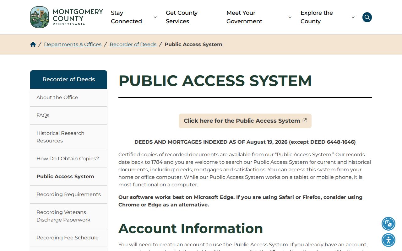
The online system supports current and historical recorded-document research, but an account is required and remote image access has separate subscription terms.
Upper Dublin Recorder Copy Options
Finding an index hit and obtaining an image are separate steps. The Recorder says remote images require a subscription, priced in the research at $25 for a calendar day or $300 per month. Paid subscribers can purchase or print plain copies at 50 cents per page. The office also offers on-site computers and a written mail-copy route, which can be more practical when only one document needs review.
For mail, the Recorder requests the owner name, municipal address, county parcel ID, book and page when known, contact information, and a self-addressed stamped envelope. The research lists a $5 baseline for a regular mailed copy and $10 for certified, with page charges over 15 pages. At the courthouse, copies are 50 cents per page with a $1.50 certification charge. A certified PDF in the system is listed at $10.50 and should be saved because only ten documents remain in the e-certified queue.
Recorder copy methods and fees are illustrated by this official source image.
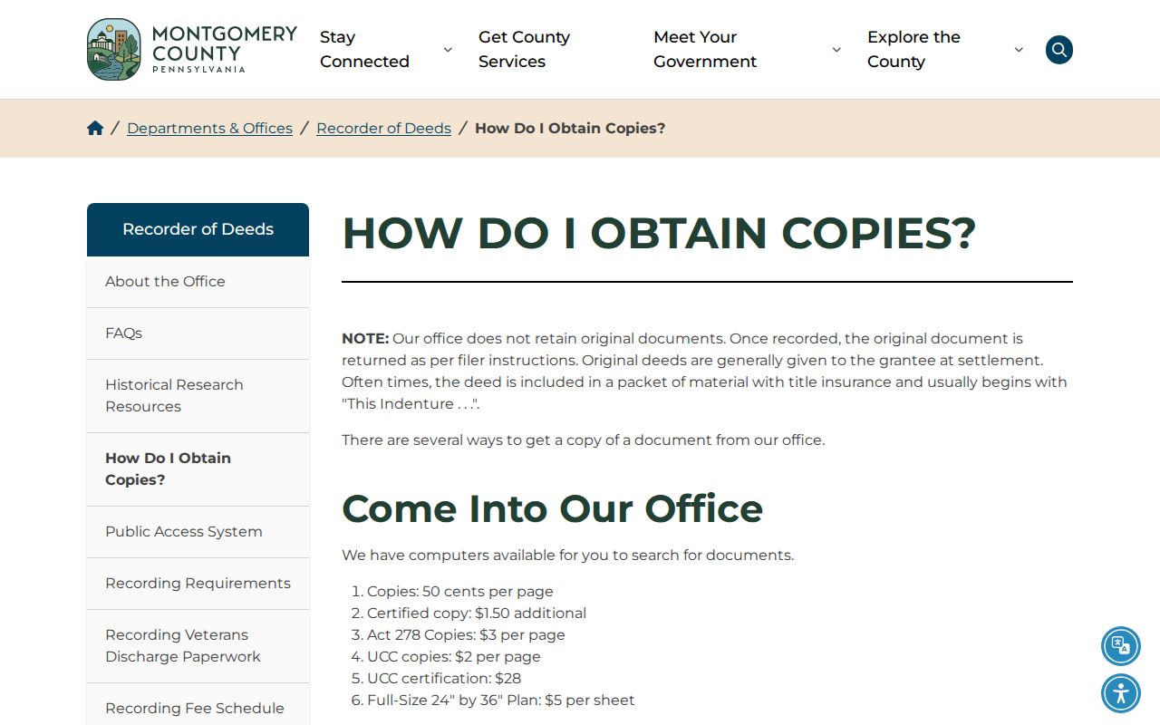
A copy supports close reading of the recorded document, while the index remains useful for building the next party, date, and property-description search.
Note: The Recorder publishes plan-book conventions and missing book ranges, so a missing result can require a manual check rather than a conclusion.
Upper Dublin Microfilm Bridge
When a previous-resident search moves into the eighteenth or nineteenth century, the PHMC grantor and grantee deed-index microfilm for 1784 through 1877 becomes an important bridge. It is not a replacement for the Recorder. Instead, it helps validate an older party or document sequence when a current online search runs thin or when a known book range is missing. County archives and the Recorder counter are useful alternatives for copy and inspection work.
Montgomery County was created in 1784, and the Recorder’s institutional history begins that same year. The office says its records date to 1784, while PHMC independently identifies deed books and early index material from that era. That overlap supports a documented search path, but it does not justify assuming that every early document or image is online.
The Recorder office history provides the source shown here.
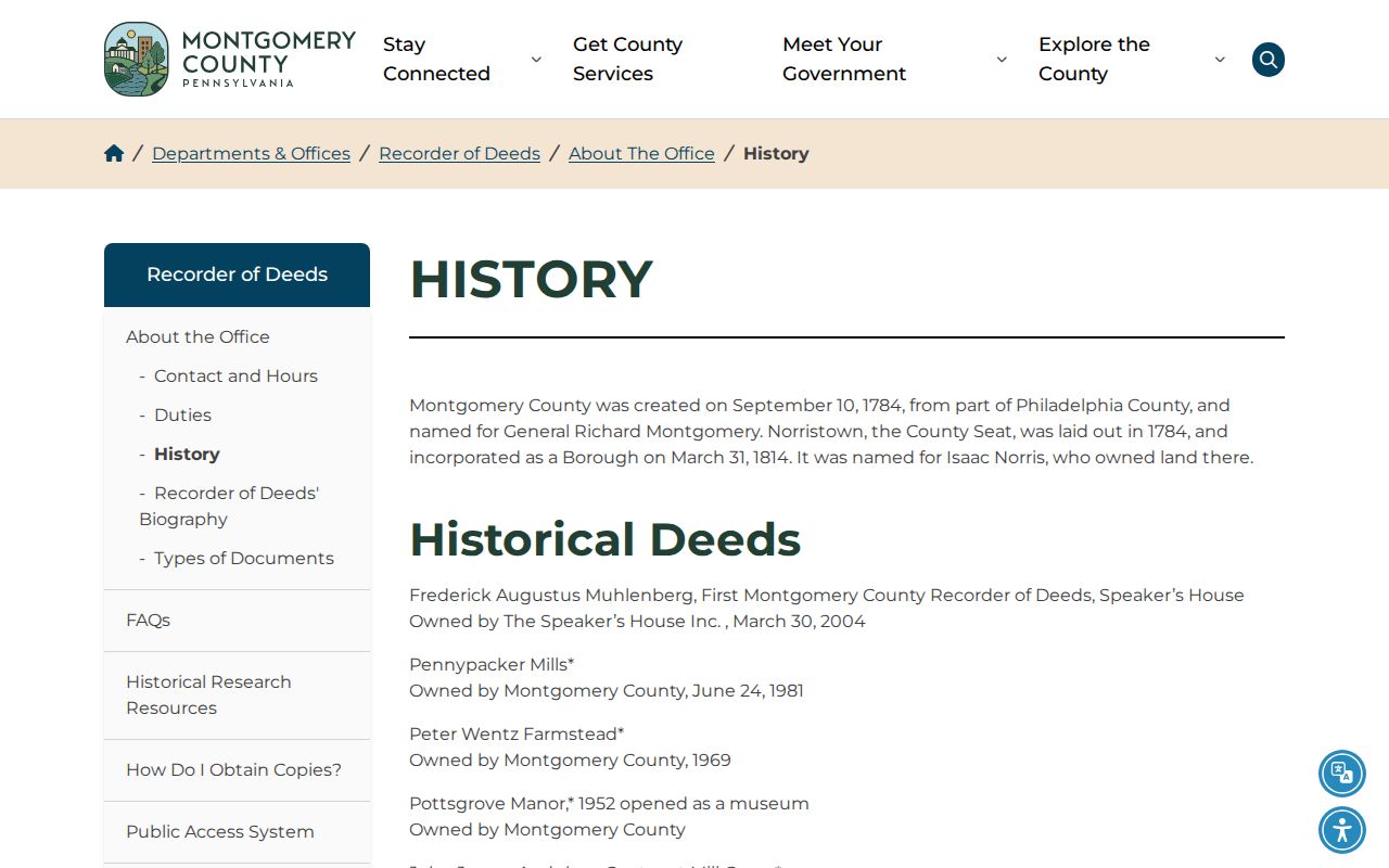
Pair an older index entry with the deed book, property description, and later transfer trail before joining it to the same Upper Dublin Township address.
Upper Dublin Tax List Gaps
PHMC lists Upper Dublin tax material for 1785-1789, 1791-1793, 1795-1819, and 1821-1834 in one series, plus 1834-1845 in another. Those dates give an early taxable-presence lead before modern parcel systems. They are not a yearly resident roll. A name can reflect taxation and a gap in a run is a gap in the source, not proof that a family or property disappeared.
For a current tax-status question, the Tax Claim Bureau’s online parcel lookup accepts address or parcel or map number, but the county states that its result is not certified. Keep that modern tax-status tool separate from archival tax lists. A certified tax search uses the bureau’s prescribed request and fee.
Montgomery County’s tax-claim parcel search is shown in this source image.
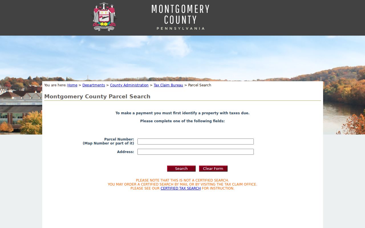
Use the parcel ID as the link between a current tax lookup and the longer deed and historic-tax chronology, while keeping the different record purposes clear.
Upper Dublin Postal Place Trap
A home history can appear under more than one locality name. Upper Dublin Township includes postal labels for Abington, Ambler, Ardsley or North Hills, Dresher or Jarrettown or Maple Glen, Fort Washington, Oreland, and Willow Grove. Historic Resource Inventory entries also use labels such as Glenside and Roslyn. These are postal-place and record-description clues, not evidence that the municipal jurisdiction changed.
Search the old place name as well as Upper Dublin Township, then compare the legal description, lot or subdivision language, parcel mapping, and municipality field. This is especially important for an Ambler 19002 address because Ambler Borough is a separate municipality even though the ZIP reaches township territory. The township identifies 19025 as wholly within Upper Dublin, but a full street address is still the sounder research key.
Upper Dublin Household Pairing
Owners and people who lived at an address are not always the same group. Pair a recorded-title chronology with a directory, tax-list, or released census lead instead of assuming a deed lists the household. For historic Fort Washington, the Historical Society of Fort Washington holds subject files from 1832-2010, manuscript volumes and deeds from 1721-1978, and photographs or film from 1885-2002. Those collections can supply names, place terms, and context for an institutional inquiry.
- Record the exact directory or tax-list year, page or series, spelling, address form, and nearby locality heading.
- Choose the closest released federal census year and identify the historic street or community form used at that time.
- Use an enumeration-district map or finding aid when a modern parcel number does not appear on the census schedule.
- Compare the household snapshot with the deed legal description and tax chronology, noting conflicts instead of forcing a match.
No verified Upper Dublin criss-cross directory run, Sanborn year list, or complete local obituary index was located. Check the Upper Dublin Public Library, Historical Society of Montgomery County, Historical Society of Fort Washington, Library of Congress, or State Archives before promising that a particular volume is available. The historical collections themselves are described on the Upper Dublin city directory page.
Upper Dublin Previous Residents Boundaries
Previous residents research needs careful labels for the evidence. A grantor or grantee is a party to a recorded transaction. A tax-list name supports taxable presence. A census is a household snapshot at a particular time. A historic inventory supplies address and resource context. None of those alone proves every occupant or a person’s later location. Marriage and probate records can connect names and estates, but they are not address proof by themselves.
Lawful use. Use Upper Dublin Township past-resident records for house history, family history, or personal curiosity. Do not use a record to track, harass, intimidate, or harm a living person.