
Upper Dublin Street Directory Steps
For an Upper Dublin Township street directory search, establish the address first, not a person’s name. The county property system accepts street address or parcel ID, while its owner-name search was removed in June 2022. That makes an address-by-address method both the available route and the careful one. A parcel result, map position, recorded deed, and a formal voter request each answer different questions. None turns a street into a complete household roster.
- Enter one house number and street in Montgomery County Property Records, then record the municipal context and parcel ID.
- Open the county tax map, locate that parcel, and note the adjoining parcel IDs or addresses. Work each nearby parcel as a separate search.
- Use the Recorder’s Public Access System for a deed or other recorded instrument. Capture the party role, document type, recorded date, document number or book and page, and legal description.
- Where a civic street record is needed, use the county’s formal voter-record request route. A Street List is a controlled record, not an open browsing tool.
- For an older address, use the Historic Resource Inventory, archival tax lists, and a directory or census inquiry only after the parcel and place name are settled.
Note: A deed party or tax-record name may relate to a parcel without establishing that the person lives there now.
Upper Dublin Parcel Search Fields
The county property portal provides Search by Address, Search by Parcel, Advanced Search, Map Search, and Sales Search. Use its address or parcel modes to identify one property. A street can have similar house numbers, changing suffixes, or more than one postal label, so the parcel ID is a useful checkpoint before moving on. The county says property records update weekly, maps daily, and photos quarterly. Those schedules help explain why a recent change may not appear in every layer at once.
| Property Records control | Type | Needed | Verified use |
|---|---|---|---|
| Search by Address | Text search mode | One address query | Locate a parcel from its street address |
| Search by Parcel | Text search mode | One parcel ID | Open a known parcel or map number |
| Advanced Search | Search mode | Optional | Use the portal’s available narrowing controls |
| Map Search | Map mode | Optional | Browse and identify a parcel spatially |
| Sales Search | Filtered search mode | Optional | Review sale-related information through its live controls |
| Search by Owner | Unavailable mode | Not available | County policy ended public owner-name searching |
A property card is parcel information, not an occupant list. Its map and property details do not replace a title search, survey, appraisal, zoning certification, or permit review.
Upper Dublin Tax Map Clues
The Montgomery County interactive tax map places a parcel among nearby streets and polygons. Use the visible Search, Identify, and layer controls to locate an address, zoom to the parcel, and read adjoining parcel identifiers. The map is valuable for spatial relationships. It is not a legal boundary survey, and a polygon does not identify a household.
The county’s interactive tax-map viewer is the source shown here.
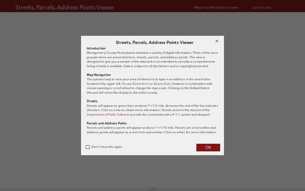
After identifying a polygon, move its address or parcel ID back into Property Records rather than treating map proximity as proof about people on the street.
Upper Dublin Street Record Layers
Street-by-street research joins several custodians, not one master directory. The county Board of Assessment Appeals describes the parcel. The map supplies a spatial view. The Recorder holds recorded documents, while the township holds its own permit and property-transfer context. The County Voter Services Street List has a much narrower role: it is a formally requested list of voter name and residential address, subject to statutory conditions.
| Address-keyed source | Custodian | Useful result | Access boundary |
|---|---|---|---|
| Property Records | Board of Assessment Appeals | Parcel, building, address, and sales-related context | Address or parcel search, not owner-name search |
| Interactive Tax Map | County Data & Mapping Services | Parcel layout and adjoining parcel relationships | Visual map only, not a survey |
| Recorded document index | Recorder of Deeds | Parties, document type, recording date, placement, legal description | Account required; remote images have access costs |
| Tax Claim parcel lookup | Tax Claim Bureau | Tax-due parcel identification | Online result is not certified |
| Street List | County Voter Services | Voter name and residential address | Controlled request, ID, signature, and use affirmation |
| OpenGov and property-transfer files | Upper Dublin Code Enforcement | Permit, inspection, numbering, and transfer-review timing | Account or specific record request; not a public street-results search |
A parcel ID and legal description tie the map, property record, and deed chain together more reliably than a street label alone. The voter street list remains separate because it is controlled by its own request rules.
Upper Dublin Address Terms
Postal labels can change the way an Upper Dublin address appears in a historic or county record. Keeping each kind of address clue separate prevents a common mistake: treating a correspondence address as the parcel location. The public property portal uses street address and parcel ID, while a deed may rely on legal-description language.
- Parcel
- A mapped unit of property identified by the county for assessment and tax-map work.
- Situs address
- The physical street address of the parcel.
- Mailing address
- The destination used for correspondence. It can differ from the situs address and does not establish residence.
- Legal description
- The recorded lot, subdivision, block, or other property identifier that helps preserve continuity when street forms differ.
- Criss-cross directory
- A reverse directory arranged by address. No verified Upper Dublin run was located, so confirm a holding before relying on one.
Upper Dublin Street Deed Chains
For a recorded-title question, start with the parcel’s known address or ID and then use the Recorder’s party, document, date, address, or parcel criteria. A normal document result can identify grantor and grantee, document type, recording date, document number or book and page, and a property locator. Read those fields as evidence about a recorded transaction. They do not list every person associated with the address.
The Recorder reports current and historical documents reaching back to 1784. A free account is required for the Public Access System. Remote images require a day or monthly subscription, but on-site computers and written copy requests provide alternatives. County pricing described in the research includes 50-cent-per-page courthouse copies, a $1.50 certification charge, and mailed-copy baselines of $5 regular or $10 certified before additional page charges.
County address and parcel-search guidance is shown in this official source image.
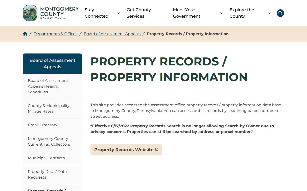
Use the parcel result to form a precise Recorder search, then retain the deed’s legal description and prior-reference details for older record checks.
Note: Published missing deed, mortgage, and plan-book ranges mean a failed online search can require a counter or archive check.
Upper Dublin Plan Search Details
Some Upper Dublin Township street work needs a recorded plan rather than a deed alone. The Recorder gives distinct search conventions for plan material. A hyphenated plan-book number requires a zero in place of the hyphen, and plan-book numbers use three digits. Landsite plans use an L, condominium plans use a T, highway plans use an H, and Plan Case books use PC, such as PC01, in volume PLN. Those details can turn an apparently failed street or subdivision search into a usable record query.
The office also lists missing Plan Books 16 through 21. MISC Books are post-2000 and electronically indexed, while MISC Backfile Books 1 through 131 are handled through the Charter Index. Preserve the plan reference, subdivision, and legal-description terms with the address log. They can connect one street segment to a plat or development record without confusing the plan with a current roster of people.
Upper Dublin Permit Timing
Upper Dublin shifted to an account-based OpenGov permitting and licensing process in December 2025 and ended paper applications. The system includes Building Permits, Property Transfers, Highway Opening Permits, Fire and Life Safety permits or licenses, Certificate of Use or Occupancy, and Contractor Registration. A permit date can help date an application, inspection, or physical change at one address. It does not prove ownership or a person’s continued presence there.
For an older address, a specific request to the township custodian can name the street, estimated date range, and project type. The property-transfer process can be a useful timing lead because the township reviews exterior numbering, sidewalk compliance, open permits, zoning hearings, violation notices, and a safety affidavit at transfer. Non-exempt material may still require redaction under the Pennsylvania Right-to-Know Law.
Upper Dublin Postal Place Checks
Upper Dublin Township spans seven postal ZIP areas: Abington, Ambler, Ardsley or North Hills, Dresher or Jarrettown or Maple Glen, Fort Washington, Oreland, and Willow Grove labels all appear in township geography. A postal city is not the municipal jurisdiction used by county records. The distinction matters most in 19002, because the ZIP includes parts of Upper Dublin but Ambler Borough is a separate municipality.
ZIP 19025 is the township’s notable exception: the township says it is wholly within Upper Dublin and not shared with another municipality. Even there, work from the full street address and parcel record. Historic-resource records may carry postal labels including Ambler, Fort Washington, Willow Grove, Glenside, Roslyn, and Maple Glen, so a house-history search may need both the township and postal-place form.
Upper Dublin Voter Street Lists
A county Street List is a specific civic record, not a general street directory. Montgomery County’s voter-record form describes it as a list of voter name and residential address. The request calls for a government-ID photocopy, qualified-elector status, signature, and a statutory affirmation about permitted uses. The instructions allow mail or email submission and state a response within ten calendar days.
The state registration-status tool is for a person’s own status, not for browsing a street. Protected voters and statutory restrictions can affect what is released. Do not infer that every resident is registered to vote, that every registered voter appears in every response, or that ballot selections are public.
Upper Dublin Historic Address Leads
The Township Historical Commission’s Historic Resource Inventory can add approximate age, historic class, photographs, architectural description, and brief-history terms to an address search. Its materials are a lead for street research, not proof of title or occupancy. Use a former property name, build decade, or older street form from the inventory to test against deeds, tax lists, maps, and institutional collections.
For an early parcel, PHMC lists Upper Dublin tax records beginning in 1785, though the listed runs contain gaps. Montgomery County land records reach 1784, and PHMC identifies grantor and grantee deed-index microfilm for 1784 through 1877. Missing years should remain missing in the research log rather than being turned into a conclusion about a property or person.
Upper Dublin Street Directory Limits
An address search cannot reveal a complete list of renters, household members, mail recipients, utility customers, or all occupants. County parcel records and recorded deeds are not resident rosters. Motor-vehicle personal information is restricted, and the township identifies personal phone numbers, driver-license numbers, Social Security numbers, minors’ identifying information, certain home addresses, and library circulation cards as material outside a broad local records request.
Lawful use. Use Upper Dublin Township street records for personal research, local history, or a property question. Do not use any record to stalk, harass, intimidate, or harm another person.